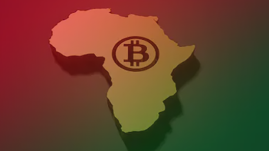



The UN overwhelmingly backed an African-led push for world maps that represent the continent’s true scale more accurately. The deeper economic question is who controls the maps, platforms and information systems that shape how Africa is seen.
For centuries, one of the world’s most familiar maps has made Africa look smaller than it actually is.
Now African countries have pushed that issue onto the global agenda.
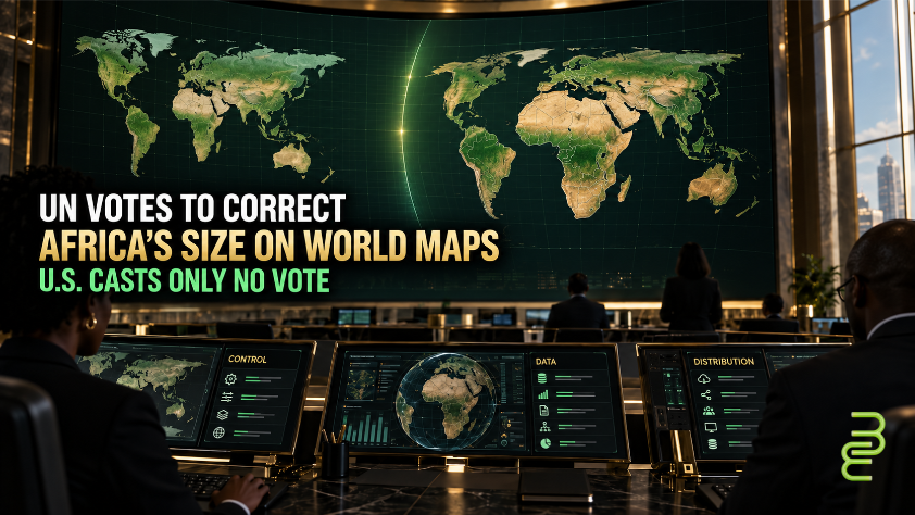
On September 4, the United Nations General Assembly overwhelmingly backed a resolution supporting more accurate representations of the relative size of continents on world maps.
The resolution was sponsored by Togo on behalf of the African Group and passed with 164 countries voting in favor.
The United States cast the only vote against it. Six countries abstained, according to NewsOne.
At first glance, this looks like a story about geography.
It is also a story about control.
Maps help establish what billions of people understand as the normal shape and scale of the world. They appear in classrooms, textbooks, news reports, business presentations and digital platforms.
That makes a map more than an illustration.
It is part of the world’s information infrastructure.
And the economics behind this debate begin with a simple question:
Who gets to define the default?
Africa Has Long Looked Smaller Than It Is
Much of the debate centers on the Mercator projection, introduced in 1569 by Gerardus Mercator.
Mercator remains useful for navigation because of the way it preserves direction. But it significantly distorts the relative size of landmasses, particularly those farther from the equator.
One of the most striking examples is Africa and Greenland.
On many Mercator maps, the two can appear surprisingly close in size. In reality, Africa is roughly 14 times larger than Greenland.
The UN resolution supports wider use of alternatives such as the Equal Earth projection, which is designed to represent the relative area of continents and countries more accurately.
Importantly, the measure does not outlaw Mercator or require everyone to use one specific replacement.
It encourages a shift toward more accurate representations where relative landmass size matters.
That distinction matters.
But so does what happens next.
Winning the Vote Is Not the Same as Controlling the Map
African countries overwhelmingly won the institutional argument.
That does not mean the world’s maps automatically change.
Consider where people actually encounter maps today.
- Schools choose educational materials.
- Publishers produce textbooks and atlases.
- News organizations create graphics.
- Governments publish official documents.
- Technology companies operate mapping services, search engines and digital platforms used by billions of people.
Each represents a point of control.
So while the UN vote creates international legitimacy for changing how Africa is represented, the practical question becomes whether the institutions that distribute maps actually change their products.
That’s an economic question because distribution determines whether an idea reaches a market.
The same principle applies to media, music, technology and consumer products: creating something or winning recognition for it is not necessarily the same as controlling how it reaches the public.
Africa may have won the vote.
The next question is who controls the distribution.
The Economics Behind the Map
It would be easy to assume that making Africa appear larger on world maps could somehow translate into greater investment or economic power.
But a more accurate projection does not automatically increase GDP, attract capital or create ownership.
The economic significance is more structural.
Maps are part of the information systems through which governments, businesses, investors, students and consumers understand the world. And those systems have owners, standards and gatekeepers.
And information systems have owners, standards and gatekeepers.
That creates several economic questions.
- Who controls the mapping platforms?
- Who owns the geographic data?
- Who determines which projection becomes the default in classrooms, media products and digital applications?
- Who develops the software and information products through which Africa is represented?
And perhaps most importantly:
- How much influence do African institutions have over those decisions?
Those questions move the conversation from representation to economic power.
Standards Can Be a Form of Control
Many standards feel neutral because people inherit them rather than actively choose them.
A map projection can become so familiar that it stops looking like a choice at all.
It becomes the default.
Defaults matter because changing them often requires institutional power.
Togo’s Foreign Minister Robert Dussey argued before the vote that maps affect education and collective understanding. The broader African-backed campaign has argued that distorted maps contribute to the symbolic minimization of the continent.
That does not mean cartography alone created the world’s economic perceptions of Africa.
But it does illustrate something larger:
Whoever establishes a widely accepted standard can influence how everyone operating within that system sees the world.
That principle reaches far beyond maps.
- It applies to credit systems.
- Technology standards.
- Artificial intelligence models.
- Media algorithms.
- Financial infrastructure.
- Educational curricula.
- Data classifications.
- And digital platforms.
The institutions that establish the default do not simply participate in a system.
They often exercise disproportionate influence over how that system operates.
Why Did the United States Vote No?
The U.S. objection was broader than cartography.
According to NewsOne, the U.S. representative criticized language connecting the issue to concepts including “cognitive justice” and reparative ideas, arguing that the resolution moved beyond correcting geographic proportions into a larger ideological project.
Several Eastern European countries abstained for different reasons.
NewsOne reported concerns from Ukraine about how some map versions could depict disputed or occupied territory, including Crimea.
Those disagreements illustrate another important point.
Maps do not simply describe physical space.
They can also communicate political claims, national boundaries and institutional judgments.
That is why changing a map can become a debate about much more than geography.
Representation, Control and Ownership Are Not the Same Thing
For BlackEconomicDevelopment.com, the most important distinction is this:
Representation matters. But representation is not ownership.
Having Africa represented at its proper scale can challenge a visual convention that generations of people have absorbed.
But economic power ultimately goes further.
- Who owns the data?
- Who owns the companies?
- Who develops the technology?
- Who controls the platforms?
- Who captures the revenue?
- Who determines the rules?
Those are different questions.
Africa’s successful push at the United Nations demonstrates agenda-setting power: African governments collectively challenged an entrenched global convention and secured overwhelming support for reconsidering it.
Now comes the harder test.
Will publishers change?
Will educational institutions change?
Will governments change?
Will major technology platforms change?
And as those changes happen, will African institutions simply be represented more accurately inside systems controlled elsewhere—or will they gain more influence over the technologies, data and infrastructure through which the continent is represented?
Who Owns the Upside?
The map debate gives us a useful progression:
Representation creates visibility.
Control determines the rules.
Ownership determines who captures the upside.
Correcting Africa’s apparent size can address one form of distortion.
But the larger economic project is not simply making Africa look bigger on someone else’s map.
It is expanding African ownership and influence across the capital, businesses, technology, media, data, intellectual property and infrastructure that determine how value is created and distributed.
The UN vote changed the conversation about the map.
The economic question is what changes underneath it.
THE ECONOMIC IMPLICATION
The deeper economic issue is control over information infrastructure.
Adopting a more accurate map projection will not, by itself, increase African investment, income or wealth. Its significance is more structural.
Even something as familiar as a world map is shaped by a system of decisions: someone sets the standard, someone produces the map, someone distributes it, and someone decides when the default should change.
For Africa and the diaspora, that raises a larger question. Being represented accurately within a system is not the same as having meaningful control over—or ownership of—the system itself.
WHY IT MATTERS
Africa’s geographic size has not changed. What has changed is the willingness of countries and institutions to challenge a centuries-old convention for how the continent is represented.
That matters because economic power is often embedded in systems people rarely stop to question—standards, defaults, platforms, data and distribution.
The next question is whether Africa’s influence can move beyond changing the picture to shaping the infrastructure, standards and platforms that determine how the continent is represented in the first place.
EDITOR’S NOTE
Primary source: NewsOne, Angela Bronner, “US Votes Against UN-Endorsed New World Map To Correct Africa’s Size,” published September 6, 2026.
Editorial treatment: BEDC’s analysis about information infrastructure, defaults, distribution, ownership and control is interpretation built from the reported facts. It’s not presented as a claim made by NewsOne or the UN.
Latest posts by normbond (see all)
- Who Owns the Upside From Power? 50 Cent’s Variety Interview Reveals a Bigger TV Economics Story - October 20, 2026
- Burkina Faso Rejected a U.S. Deportation Deal. Then the Fight Moved to Visa Access. - October 19, 2026
- NC A&T Students Marched 45 Minutes to Vote. The Bigger Story Is Who Controls Access. - October 17, 2026